Conquering Chubb txoj kev
Hnub Monday, Kaum ib hlis 13, 2023, Kuv tiav ib lub hom phiaj loj thaum kuv hiked tag nrho ntev ntawm Chubb txoj kev, an out-and-back 13.6 mile trail in West St. Louis County. Tus hike muab kuv xya teev thiab peb caug feeb kom tiav.
Thaum kuv tus tub hiob "Trey" yog sau cov yuav tsum tau rau cov kub puav pheej ntawm Achievement nyob muaj koob muaj npe Rangers, equivalent to an Eagle Scout, “Trey” decided to complete the hiking merit. As my youngest son Caleb also intended to pursue a GMA, the three of us completed eight hikes totaling sixty-five miles during the summer of 2012.
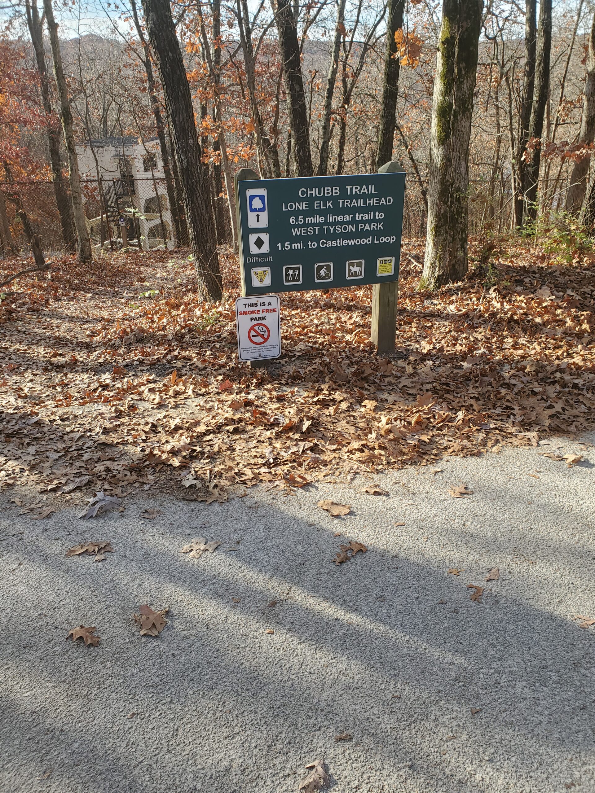
Lone Elk Trailhead of Chubb Trail, one of the hardest trails in the St. Louis cheeb tsam
The most difficult hike by far was Chubb Trail. I had been hiking with the boys with plantar fasciitis in my right foot. When we hiked up the hill between mile marker 3 thiab 2 in West Tyson Park, we finally arrived at the top of the hill, an ascent of 1,200 ko taw.
“Trey” put his hands on his knees and dropped his head to catch his breath. “I’m so sorry I put you through this, Dad. I think I’m going to die on the top of this hill.”
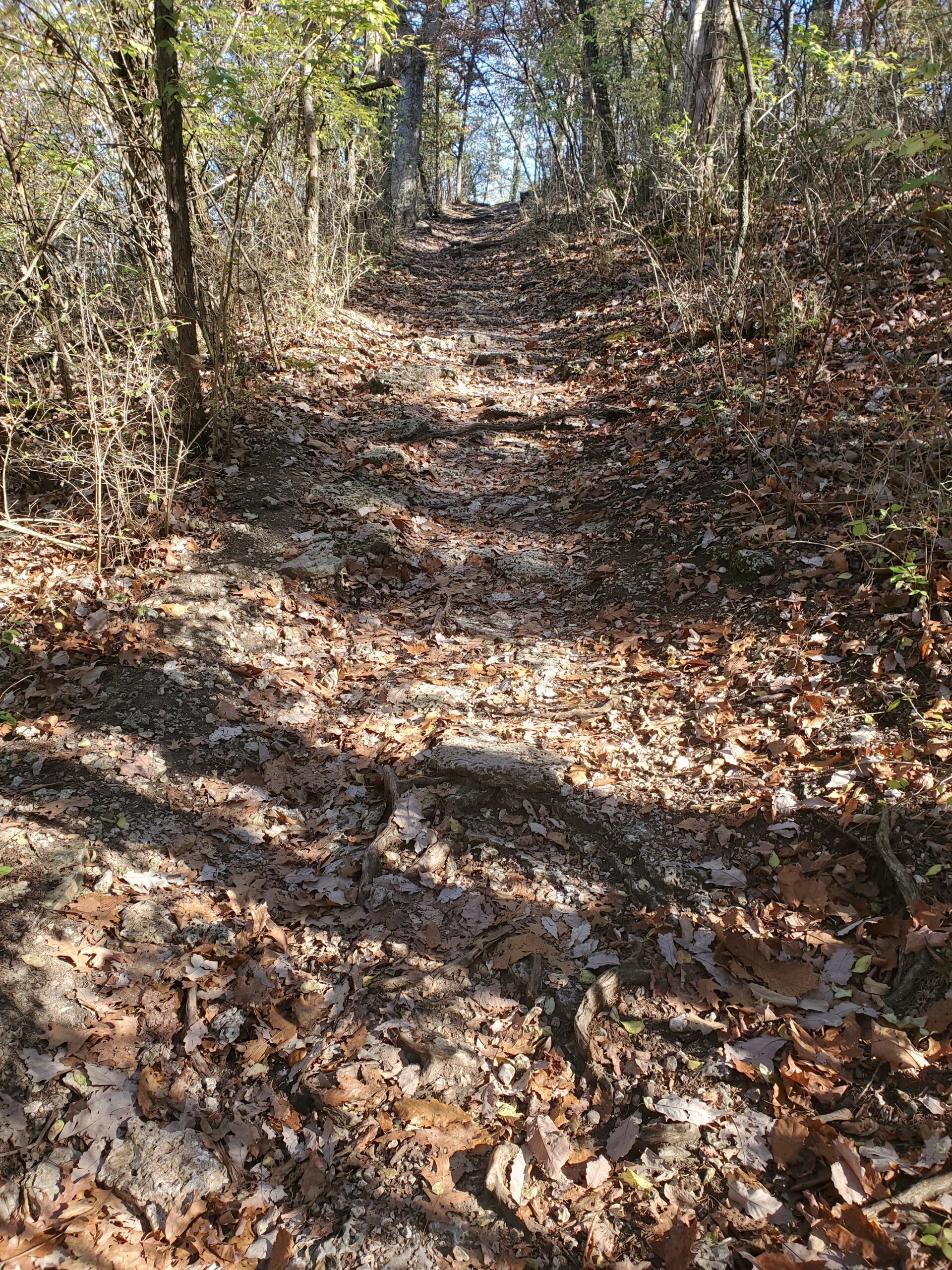
Part of the seven-tenths of a mile ascent to 1200 feet on the Chubb Trail in West Tyson Park
After completing the hiking merits, the boys were done with hiking. I continued to hike on and off and always said that one day I would conquer Chubb Trail. Until this past Monday, I had never hiked more than seven miles on Chubb Trail at one time.
I wanted to get started by 8:30 a.m. but because my grandson Solomon was playing games on my phone on his way to school, I had to recharge my phone. I did not get started until 9:10 a.m.
I started at the Lone Elk Trailhead, which contributed to my success in completing the hike. If I had started at the West Tyson Trailhead, I would have probably quit because finishing the three miles on the West Tyson side would have been brutal.
I made the first 3.5 miles from the Lone Elk Trailhead to the 3-mile marker in one hour, twenty minutes. I felt good as I started the three-mile trek to the West Tyson Trailhead.
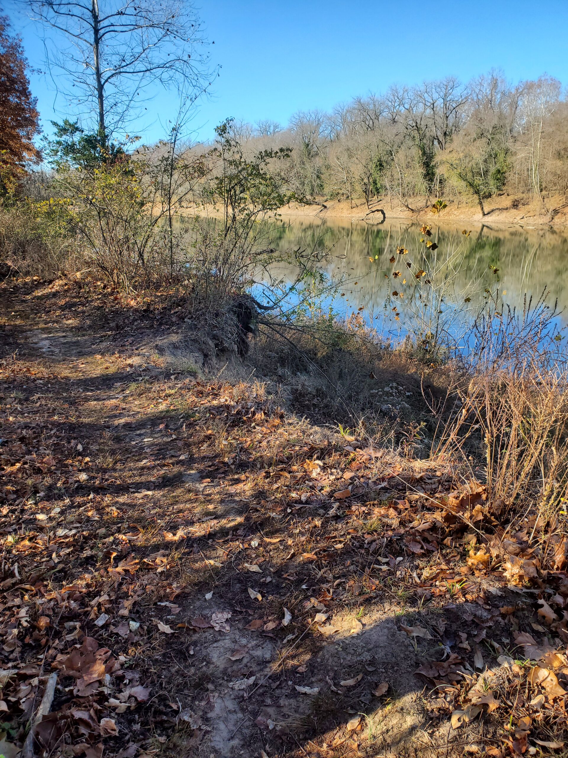
View of the Meramec River between Mile Markers 4 thiab 5 of the Chubb Trail
West Tyson is an earthen treadway with rocks and tree roots throughout. Besides the seven-tenths of a mile ascent (measured on my Garmin, so it is no longer a guess) to mile marker 2, the trail is a constant changing of elevations that put tremendous pressure on my arthritic knees. It took me two hours to make the three-mile trek to the West Tyson Trailhead.
As I rested at the Trailhead, I gave significant thought to calling it a day but had already made it halfway through the toughest part. After resting fifteen minutes, I headed back out of West Tyson.
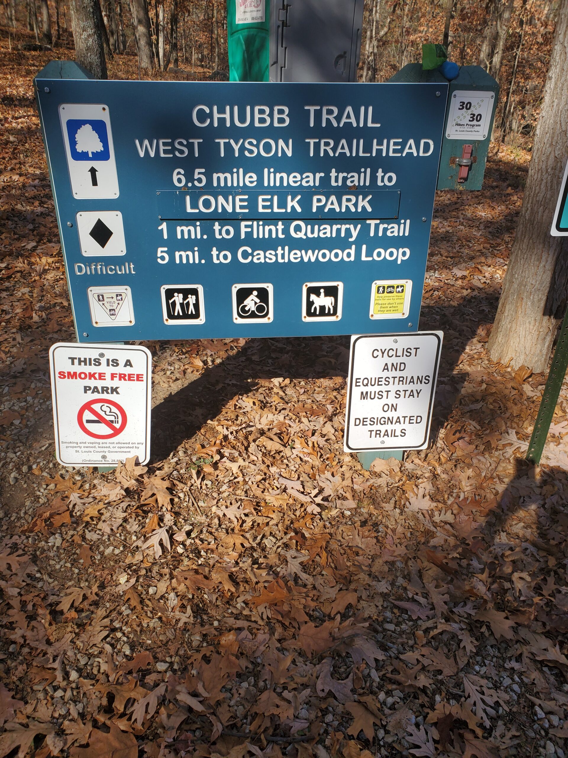
West Tyson Trailhead for the Chubb Trail. West Tyson contains most of the three hardest miles of the trail
It took another two hours to make it back to the 3-mile marker. I had my last chance to call for a ride because once I started the last 3.5 mais, there was no turning back. I could not quit so close to the end, so I started on the last section at 3 p.m.
My Garmin gave me a low battery warning at the 5-mile marker, so I saved the 11.86 miles hiked so far. For the last mile and a half or so, I did not know what my heart rate was but felt fine cardio wise. I finished the hike and achieved a long-time goal at 4:43 p.m. It took me twenty minutes longer to make the 3.5 miles than it had in the morning, but it was to be expected after almost ten miles of hiking.
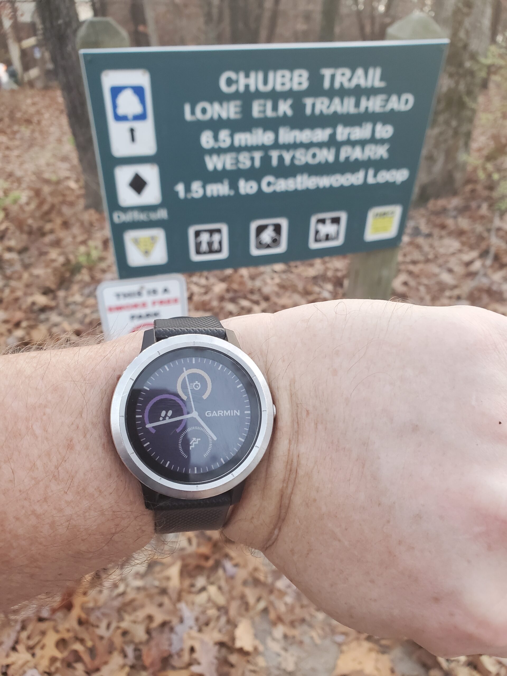
End of the Hike back at the Lone Elk Trailhead around 4:40 p.m.
I felt good at the end of the hike but after driving home everything tightened up in the car. I could barely make it into the house. Ice bags were my constant companion for about twenty-four hours. I am writing this post on Wednesday and am almost back to normal. I taught the 4- to 6-year-old Taekwondo class tonight without too much trouble.
Will I ever do it again? I doubt it. I achieved the goal. It is time to move on to the next challenge. I am extremely glad that I did achieve it though.
Koj yuav tawm ib saib los nug cov lus nug txog qhov no los yog tej tsev xa rau kuv Facebook phab los sis Twitter profile.
PIN rau nws
